CDT - Jackson to Butte
GREAT MOVE
Coming off of a fulfilling week of non-riding I’ll admit that it took some effort to get back on the trail. Jackson felt more like a standard vacation - all of the sightseeing and adventure with none of the hardship. It was time to trade hotel beds and fine dining for dehydrated meals and a sore butt.
In the end my sense of adventure prevailed. I slapped on some fresh Yellowstone and Grand Teton stickers, said my good-byes, and packed the bike for departure. I was finally back in the seat around 6pm, well past the point of no return (hotels fully booked) and late enough in the day that I’d have to find a campsite somewhere in the park. The valet, a Harley rider, waved me off.
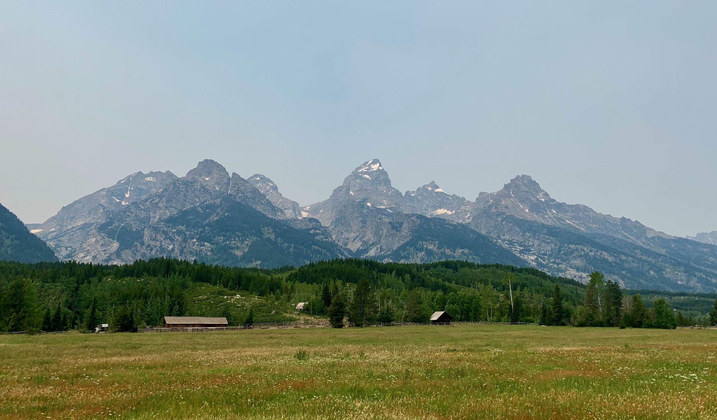
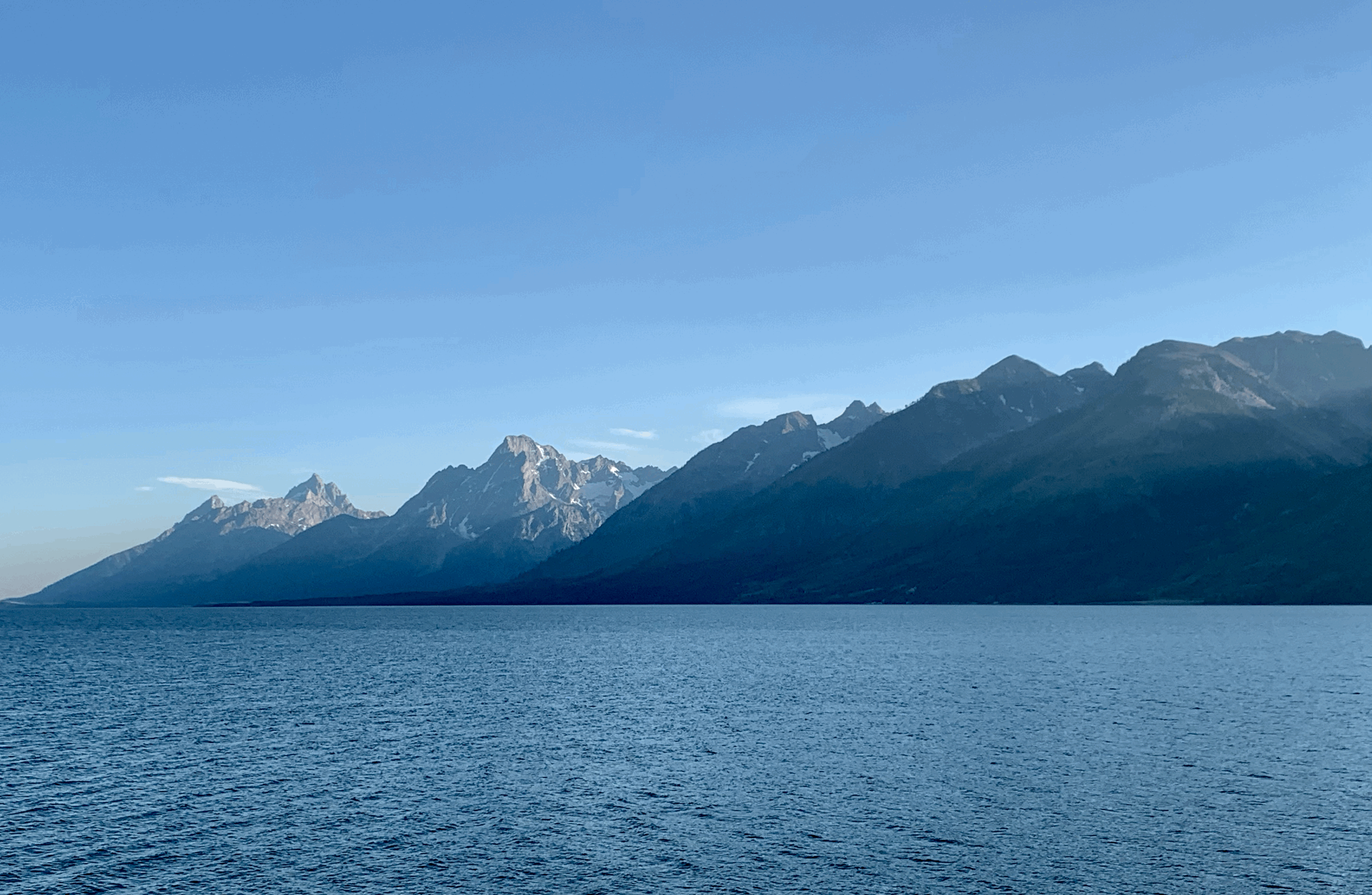
Within fifteen minutes any doubts were dashed. Heading north from Jackson I crossed past the Teton range, and all it took was a quick glance left to raise my spirits. Smoke from the Idaho wildfires left the mountains hazier than normal, but a cool breeze rolled in as the day wound down. I’d been in the area for a week so I only took two stops before hitting Yellowstone - the views from Moose Junction and Jackson Lake were too good to ignore.
At the Yellowstone gate I pulled in behind two other adventure riders on big BMWs. We had a bit of a wait, so I struck up some small talk.
“Where are y’all coming from"?”
“California.”
“What route did you take?”
“Oh it was hell. Without [my partner] I don’t think I would have made it. We came through Vegas and got stuck in traffic in 115 degrees for six hours.”
As the story went on it sounded more and more like my own. They gave up and shipped the bikes to Jackson, eager to beat the heat but determined to make it to Canada. I offered to share my campsite with them, but they declined - too tired to push on another 50 miles. Little did they know I was 100% winging it. Given the time of year I wasn’t hopeful I’d find something in Yellowstone - reserved campsites book a year in advance and there are only a handful of walk-up spots. The Ranger at the gate pointed out that Lewis Lake had the only walk-up camping on this side of the park, so I set off north.
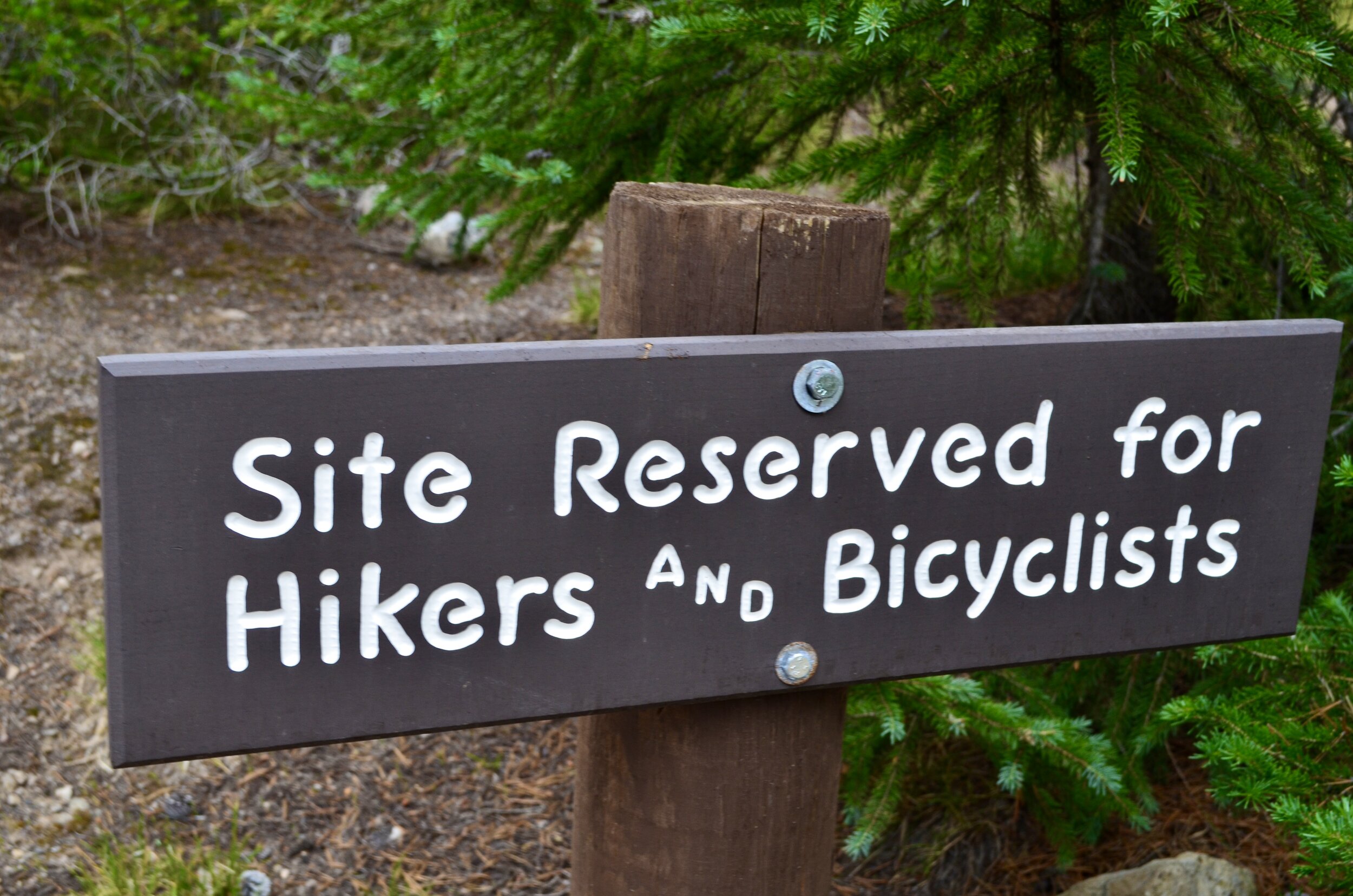
I turned into the Lewis Lake campsite just as the sun was about to set. As predicted, the sign out front read “CAMPGROUND FULL,” but I continued in hoping for some good luck. There was exactly one spot left. The sign out front read,
“Site reserved for hikers and bicyclists”
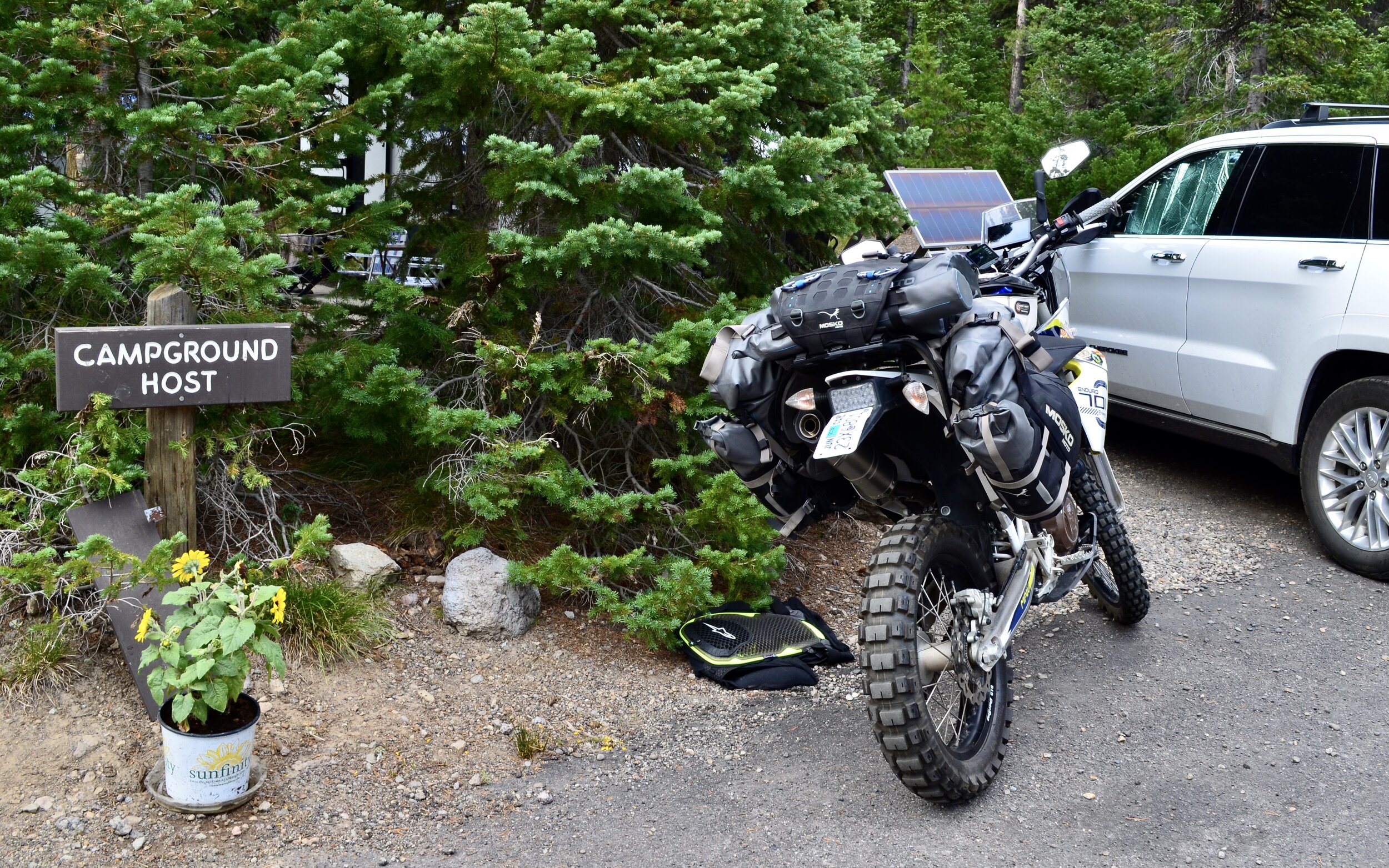
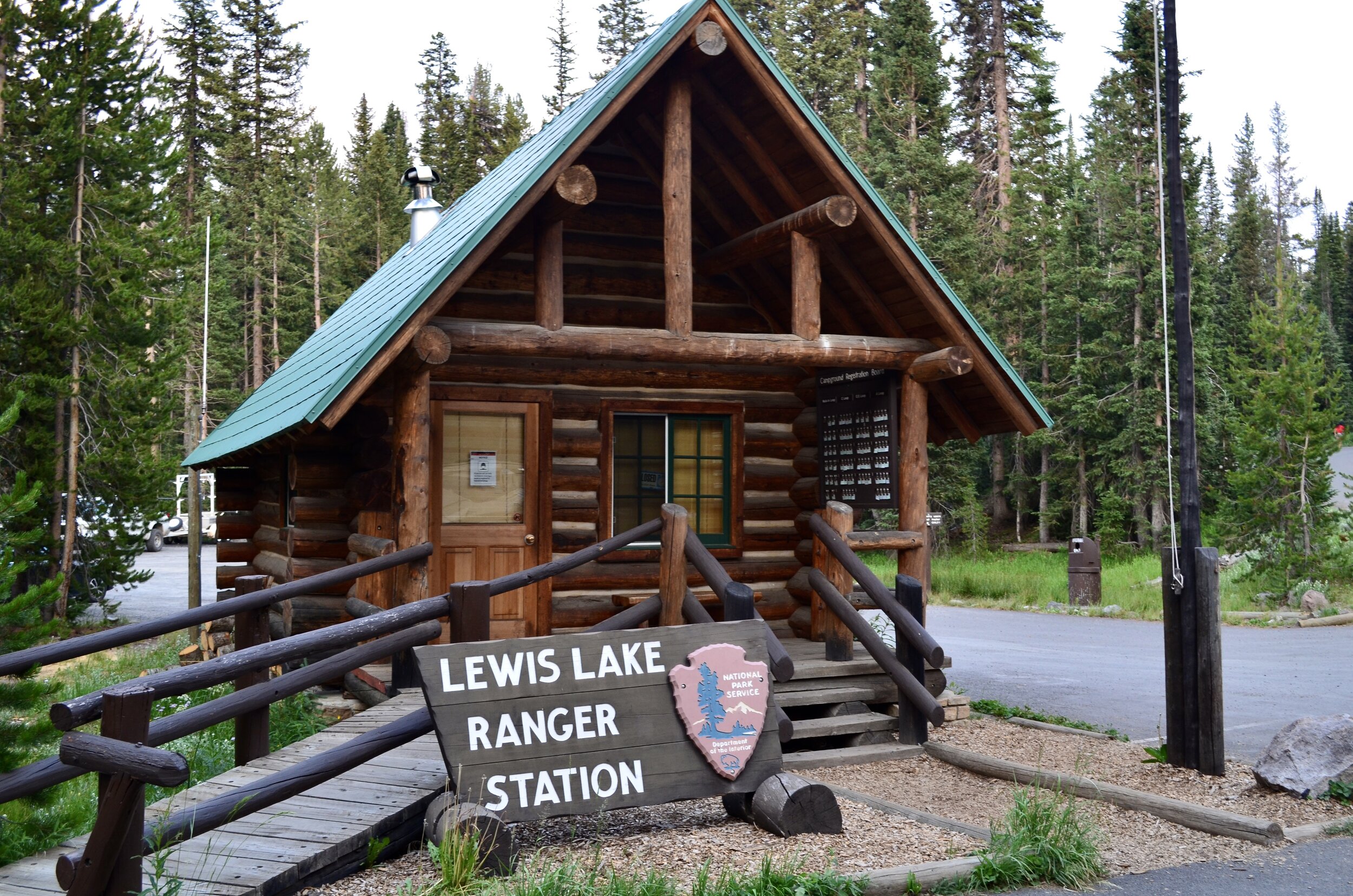
I didn’t qualify, and parked next to the campground host to see if they could offer any advice on where to try next. A woman in her sixties emerged, cracked a smile, and said,
“Want to make a deal?”
I didn’t expect to hear that, but it did give me some hope. She let me park the bike about 100 yards from the “hikers only” site, and made me swear I wouldn’t tell anyone I was really on my motorcycle. We sealed the deal with a pinky swear. I parked and walked all of my gear over to the site to start setting up camp.
“The Rangers get all pissy that we break the rules, but it’s late and no one ever takes that site.”
With the last 30 minutes of sunlight I drummed up a dehydrated Beef Stroganoff and hiked down to the lake. I missed the best photo opportunity by about ten minutes, but did get to watch the last bit of sun fall under the ridge. Families and lone hikers howled as it went down, so I joined in. I couldn’t help but think “this was a great move” as I made my way back to camp by headlight.
I woke up at Lewis Lake well-rested, kicking myself for forgetting bug spray, and eager to make my way into Montana. Surprisingly the Rangers did come by to check that I was following the rules, and were easily convinced I was a backpacker. Given I only have 80 liters of space to live in, “Camp” is just a one-man tent, a jetboil, and a collapsable bowl. I will say, however, that Mountain House™ has really upped their game in dehydrated meals. Five years ago they were inedible. Now I’d recommend them to anyone, and in a few cases I chose them over local restaurants.
Riding through Yellowstone to the Montana border fulfilled a five-year dream. As beautiful as it is from a car, the Grand Loop really came to life on the bike. Jackson Lake to my left. Deep canyons and Yellowstone River to my right. Bison and Elk that came within 10 feet of the road, forcing me to stop and wonder whether or not the plastic and metal would protect me if things went south. I knew I’d be screwed (Bison are over 1,000 lbs), but I was too in awe to care. I ignored the wildlife warnings and snapped a few pictures.
A handful of spots in Yellowstone cross directly over the continental divide and the original backpacker’s trail. Along the way I ran into more than a dozen people cycling the full length, but no hikers. Most waved, happy to see other explorers. All I could think is that the cyclists are way more hardcore than me.
By lunch time I’d made it out of the park and into West Yellowstone - the closest town to the west entrance of the park. The line for entry was backed up three or four miles, and just like Jackson the place was spilling over with people. I couldn’t get out of there fast enough, and continued on to link back up with the CDT dirt trail.
HELLO MONTANA
The next stop was Lima, Montana, a tiny town (population 180) directly west, leading towards the Pioneer Mountains. I only had about 75 miles left to go, so continued on. Highway gave way to winding side road and eventually dirt. Population slowly bled away, ranches growing further and further apart. Hundreds of horses replaced people.
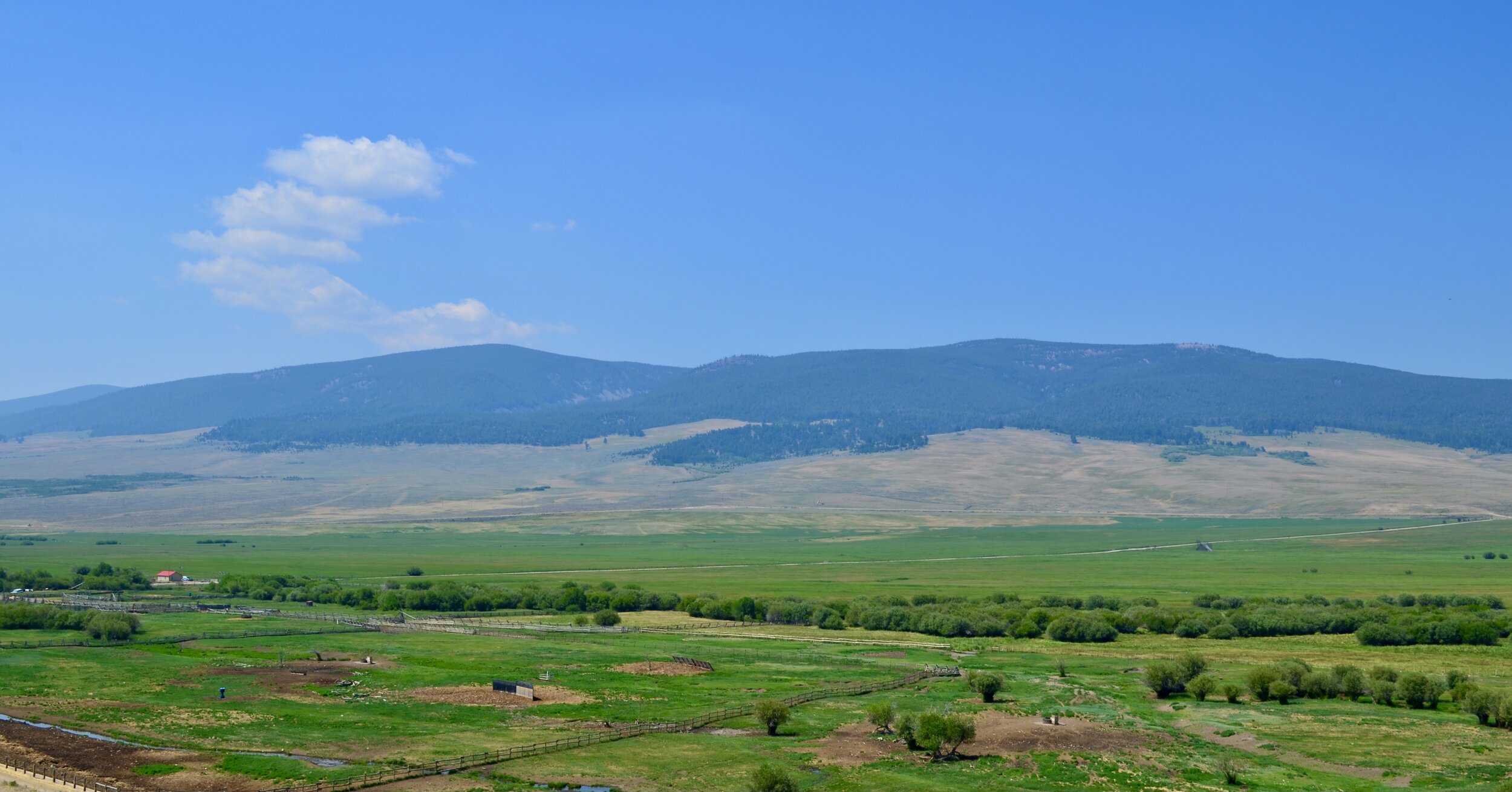
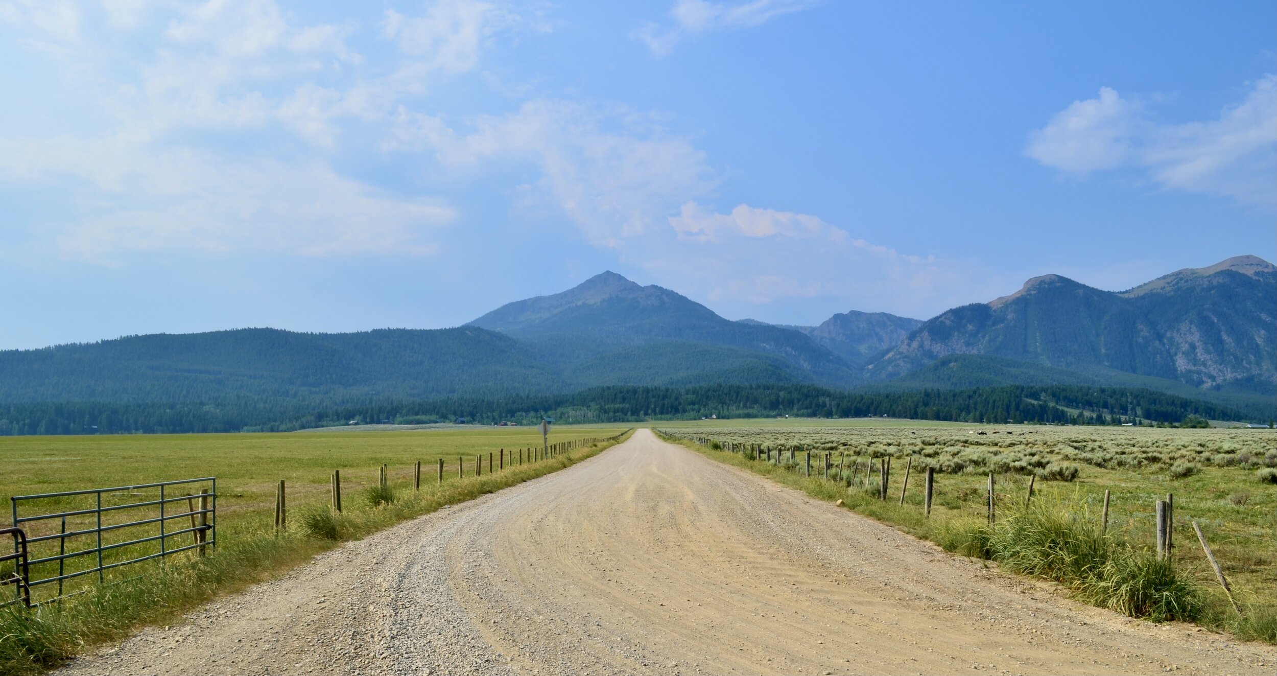
I could see why Montana is called “Big Sky Country.” The landscape definitely makes you feel small, with vast expanses of fields, mountain ranges, and open sky in all directions. I was blown away, and felt compelled to stop every ten minutes or so to try to capture the scene. The road surface was well-groomed and allowed the big single to really sing when I wanted to. In attack position I felt planted all the way up to 80 mph, but I wasn’t in any real rush so mostly toned it down. In the first two hours I only saw two people - a pair of fly fisherman around a local stream.
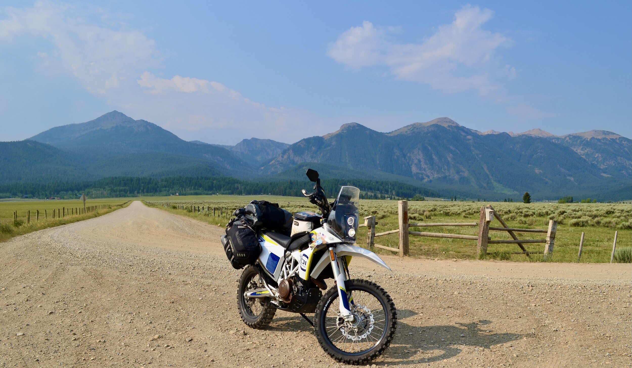
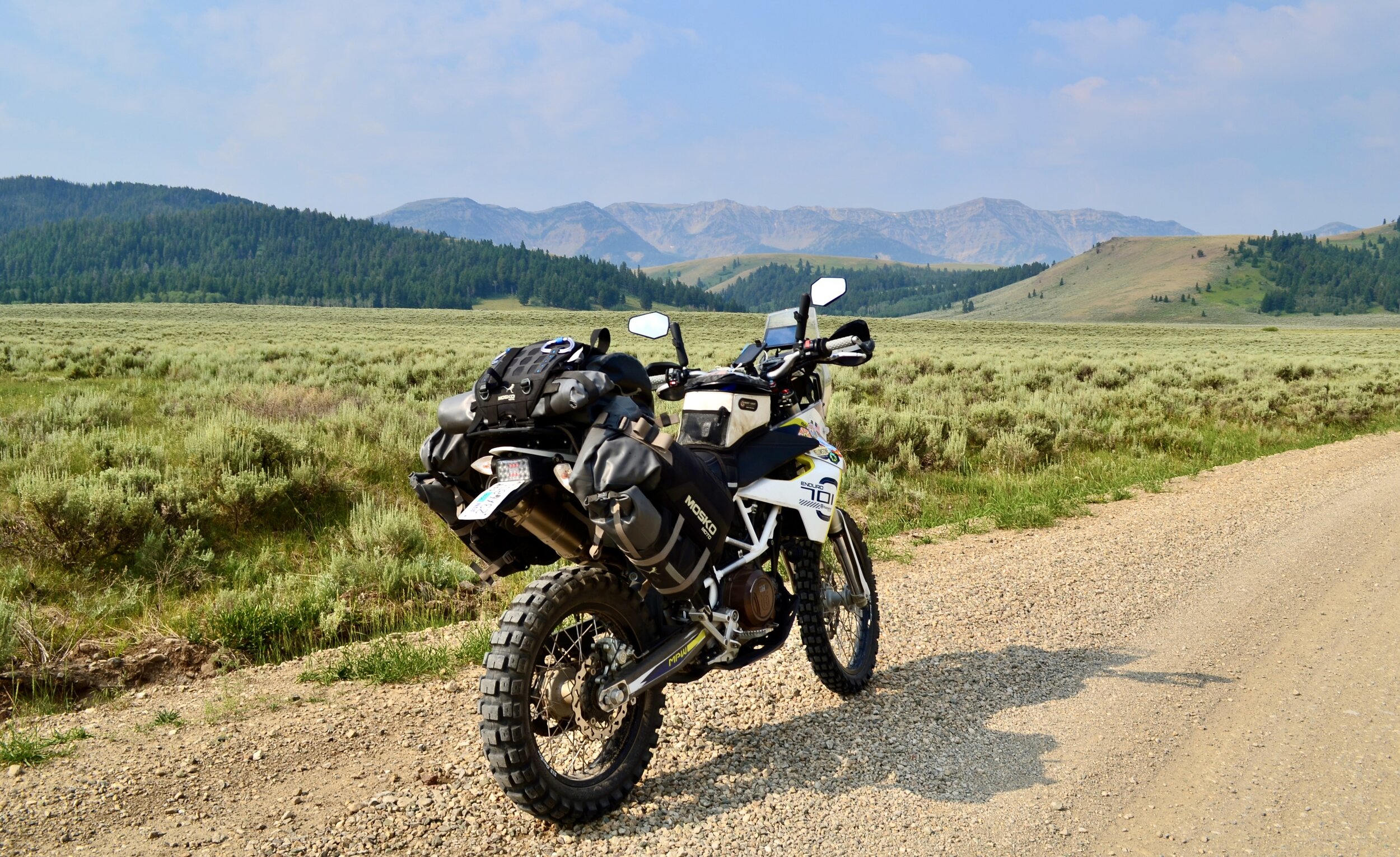
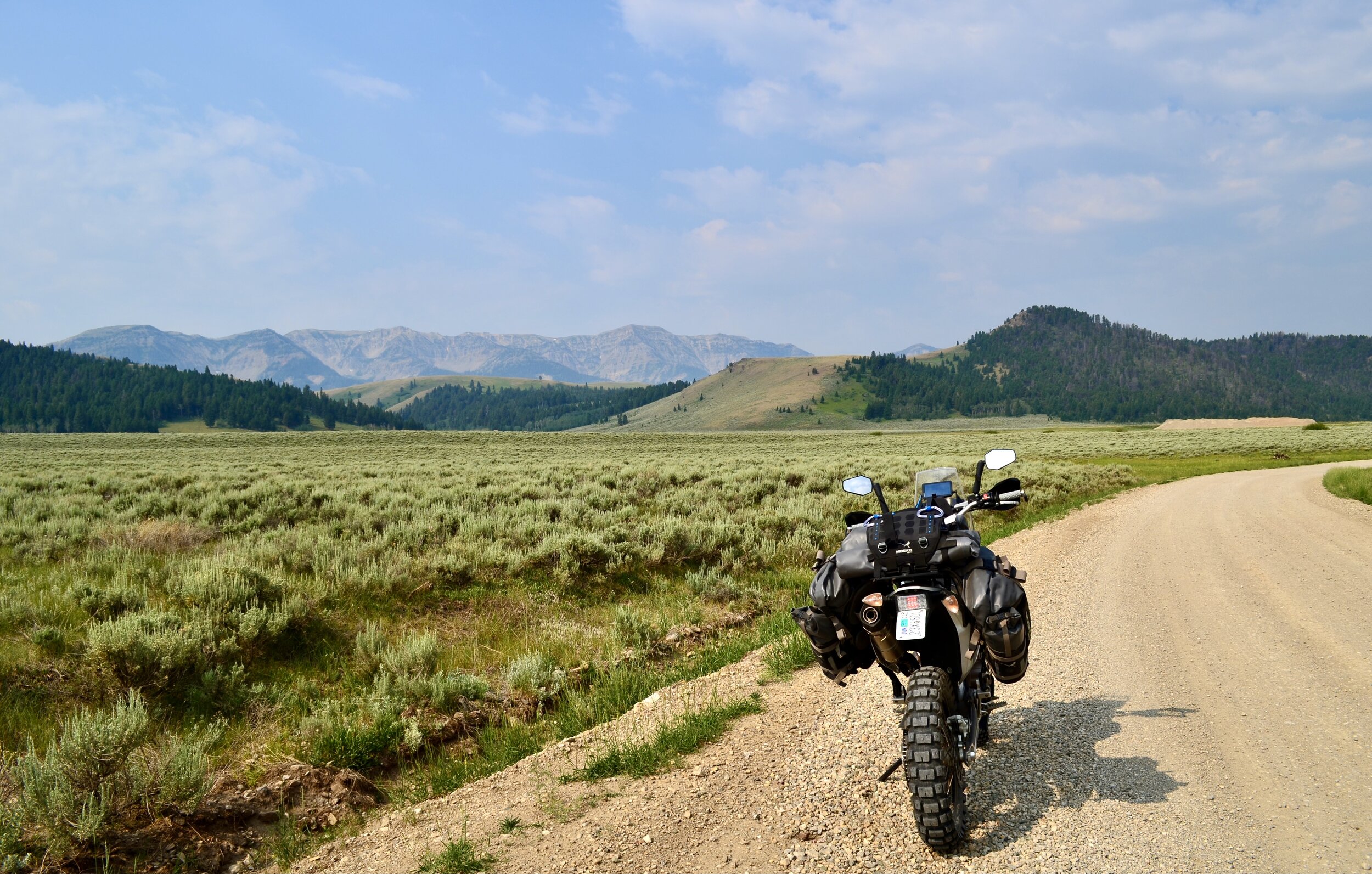
Within about ten miles of Lima I passed a pair of riders on 125s packed with gear and plodding along slowly. In a brief conversation I discovered they were following the same GPS tracks South-to-North, but were (1) very slow and (2) content to keep to themselves. I continued forward, but given the solitude it was nice to know someone friendly was following along behind in case of emergency.
As I pulled into town I realized just how small it really was. There was one restaurant (Jan’s), but due to short staffing they were only open Thursday through Sunday. I stopped and asked a local where I could get food. He pointed at the gas station, which I later found out was the primary hangout, fuel source, and grocery store. I opted out of gas station sandwiches in favor of my camp food, and looked for a place to rest until sundown.
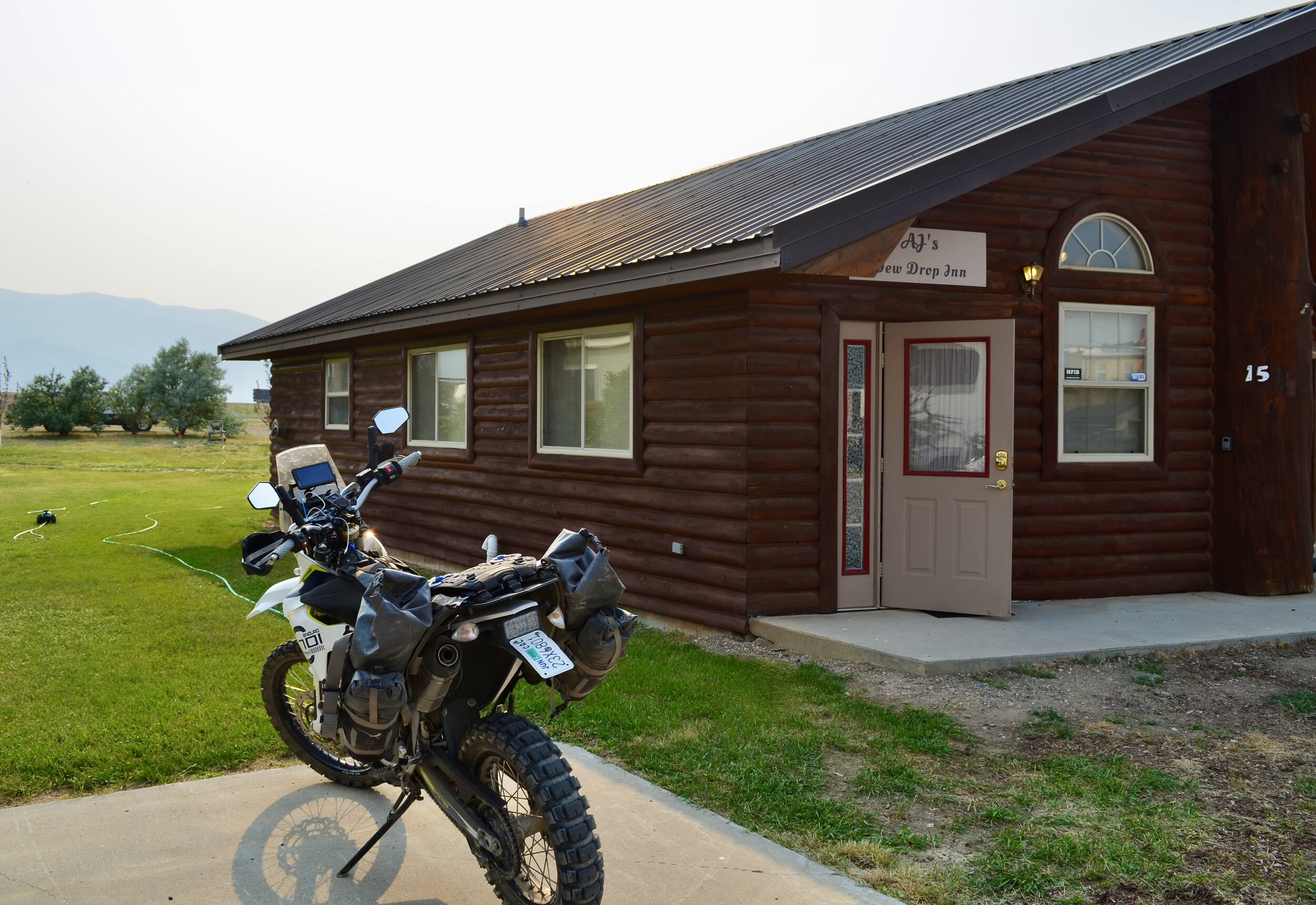
Oddly enough there was a single AirBnB, assumedly dedicated to travelers running the CDT. AJ’s Dew Drop Inn could be had for $25 per night - I ditched the camping idea in favor of a bed and shower. The place turned out to be great, and the neighbor across the street (Ernie) swung over with cheap beer to say hi and make a new friend. We plopped a pair of camp chairs on the lawn.
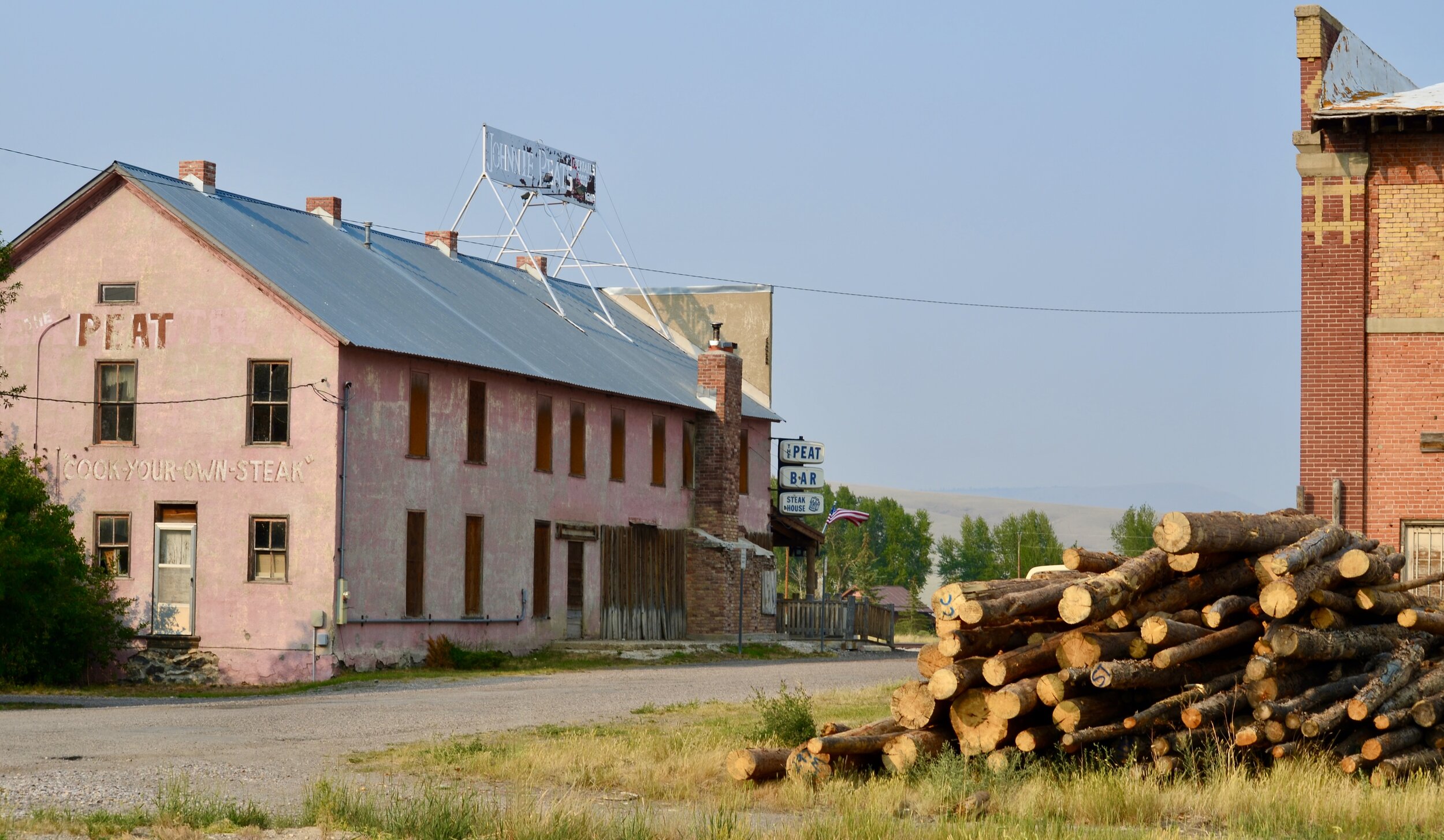
A few cans later we started talking about his Lima experience. Like many small towns local businesses had been hit hard by the pandemic. Ernie was laid off towards the beginning, but seemed content with his (more lucrative) unemployment checks. Places like this relied on interstate travelers, and without the outside money people started to leave. A few dedicated and friendly locals remained, but walking around the neighborhood about half the houses looked abandoned. The best kept building was the Post Office - proudly flying the American and Montana state flags. Dying or not I had a good time there, and would recommend the Dew Drop Inn to anyone.

GHOST TOWNS
I woke up early, filled up at the local superstore (gas station), and re-joined the CDT trail. The first hour looked a lot like the route to Lima - well-groomed dirt roads running through big sky country. Ranch after ranch rolled by, some in dis-array and others boasting grand entrances and massive log cabins. After a while rock outcroppings started to pop up, and I could faintly make out the Pioneer mountain range through the wildfire smoke.
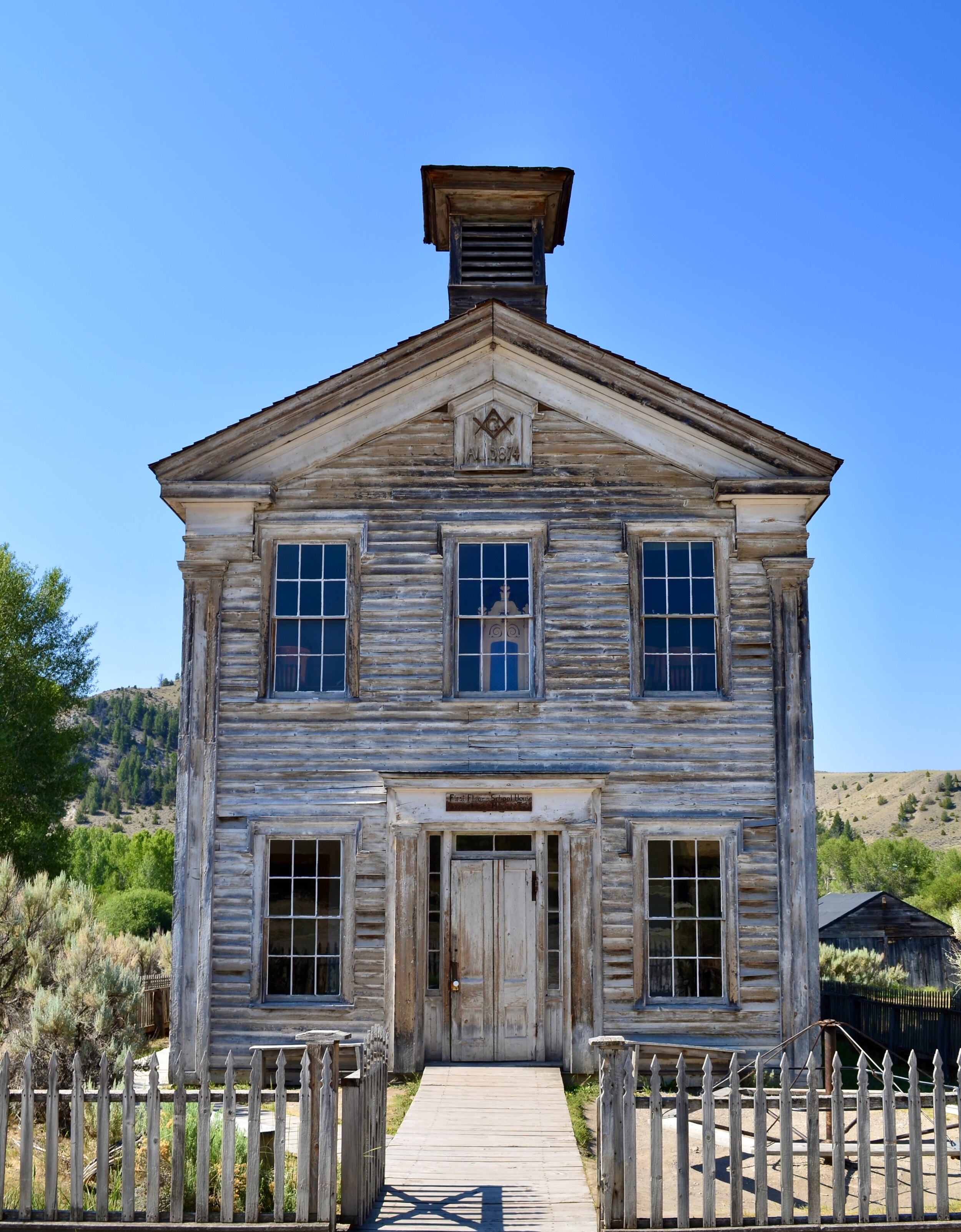
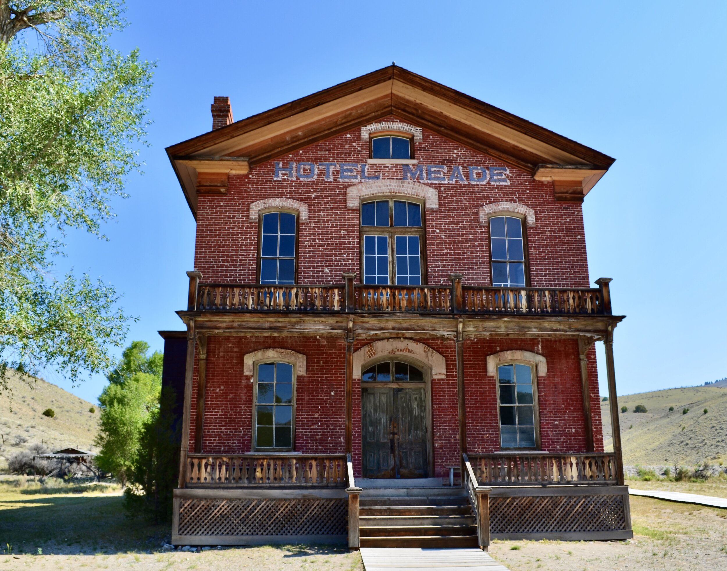
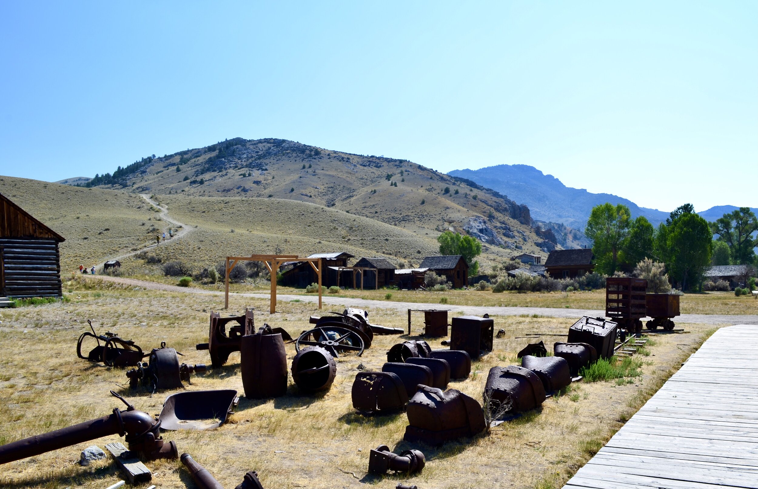
The major attraction for the day was Bannack State Park, an interactive and fully preserved example of an abandoned gold rush town. Bannack was truly in the middle of nowhere. I took the one dirt road towards it and didn’t see a soul for the 50 mile trek away from civilization. I amused myself by twisting the throttle, shooting roosts of dust and practicing a few (pretty bad) wheelies in front of the horses.
Finally I pulled up over a ridge to see a creek winding through the hills. The water left a trail of greenery - stark contrast to the amber hills for the past hour. A road sign confirmed that the creek ran through Bannack, and I turned off to see the town.
The parking lot was essentially empty - only the park ranger and gift shop owner were there. A $2 entrance fee bought me access to the buildings and a printed guide. Each structure was numbered, had a quick history blurb, and to my surprise nothing was blocked off.
“Where am I allowed to go?”
“Anywhere the doors will open.”
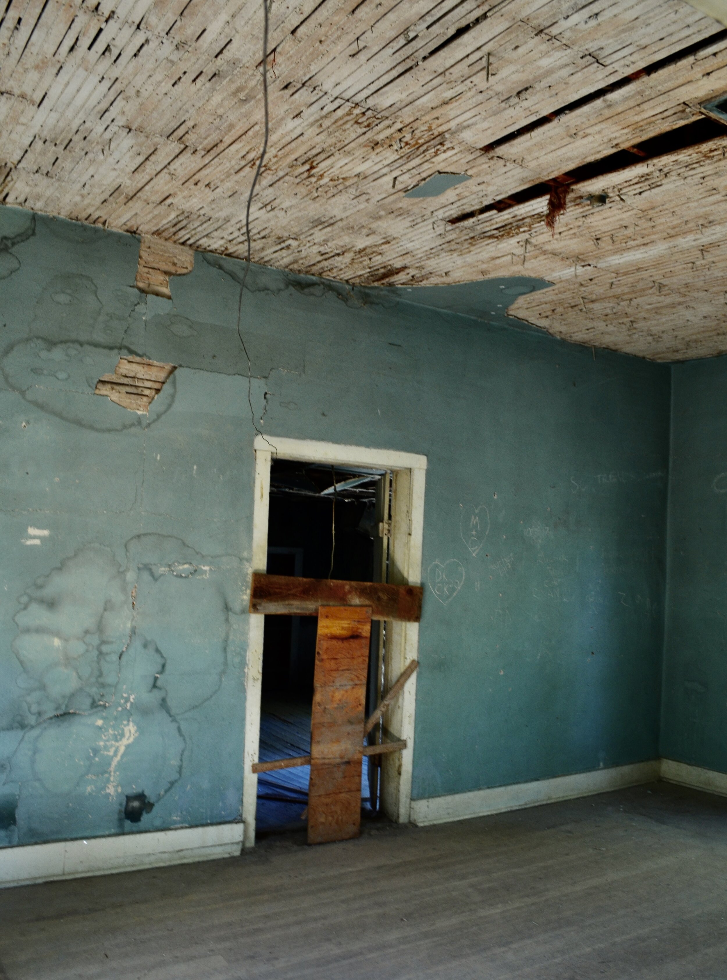
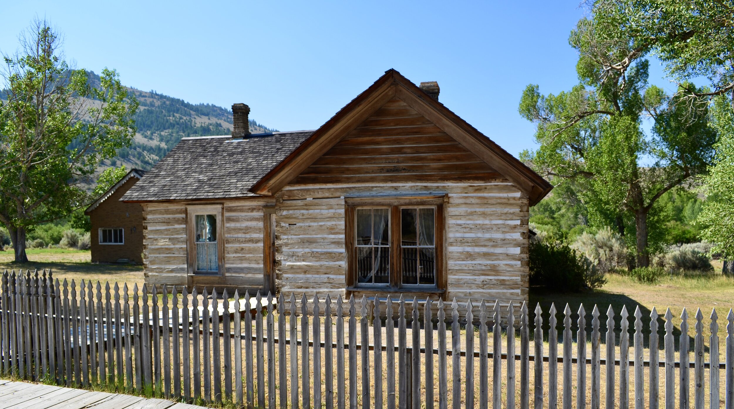
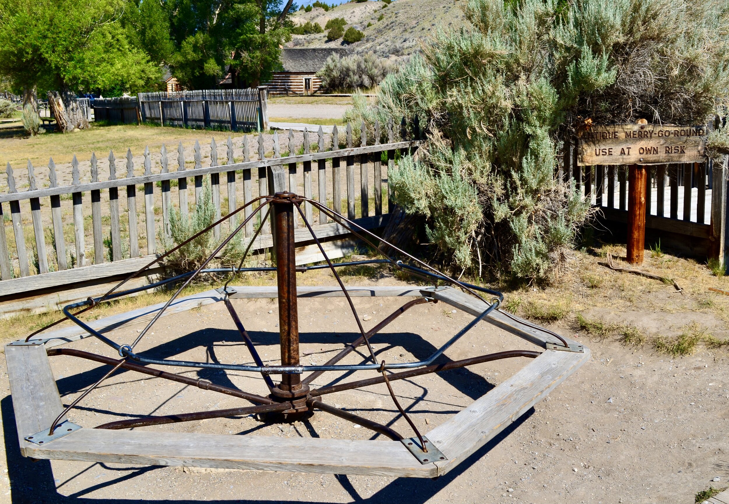
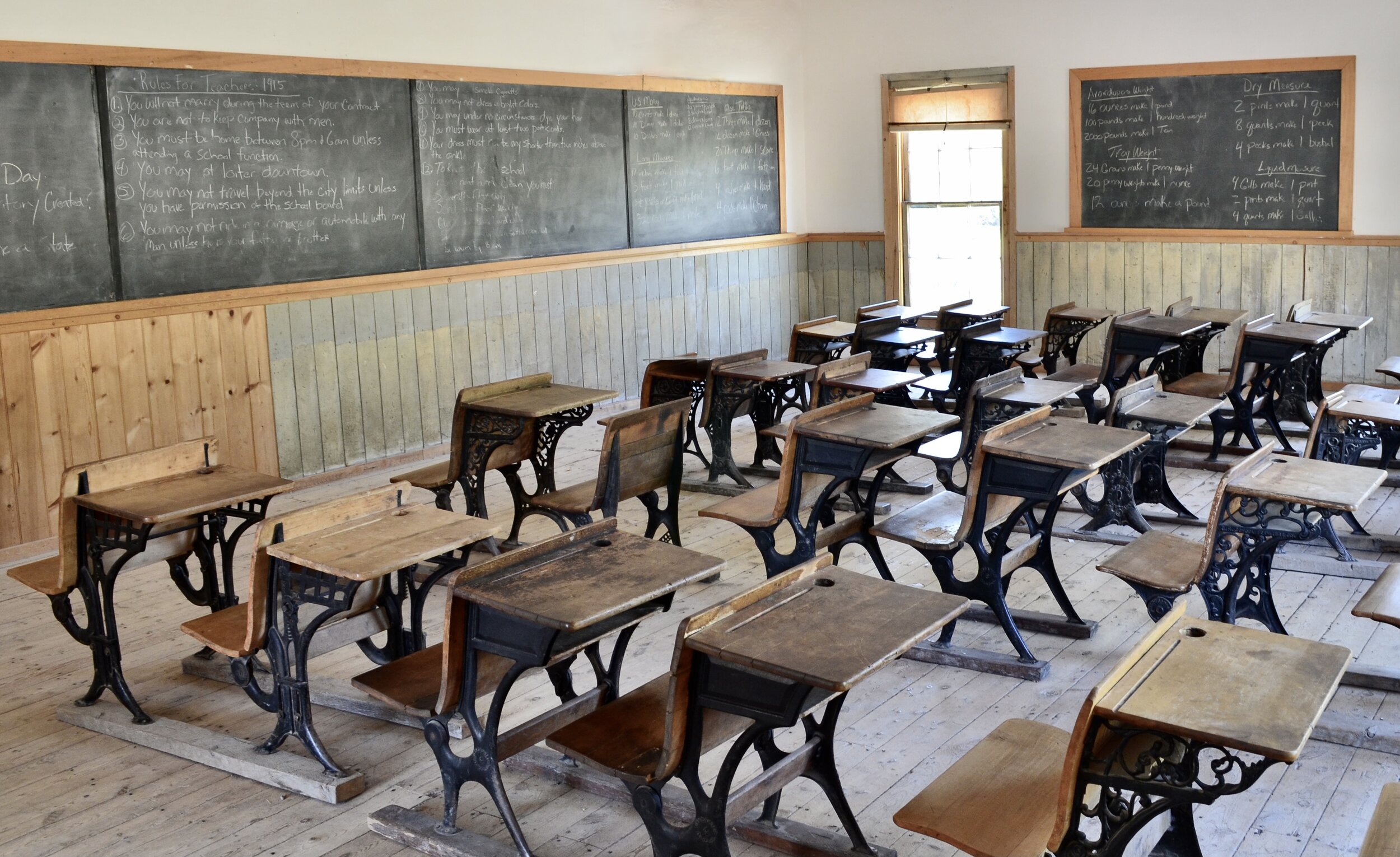
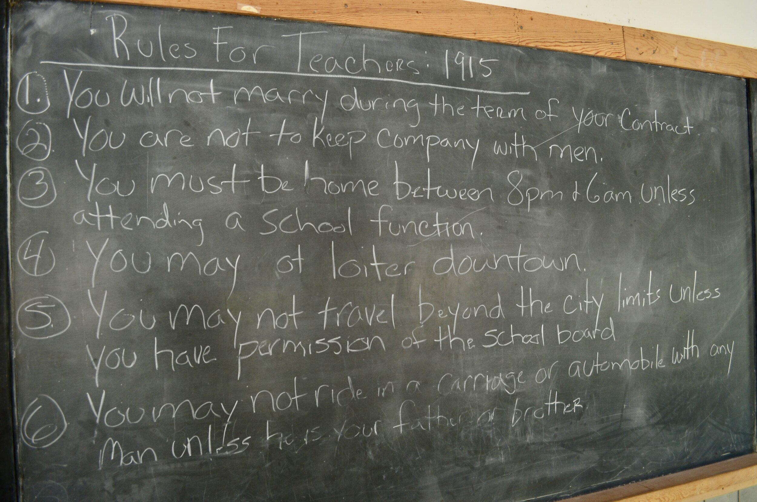
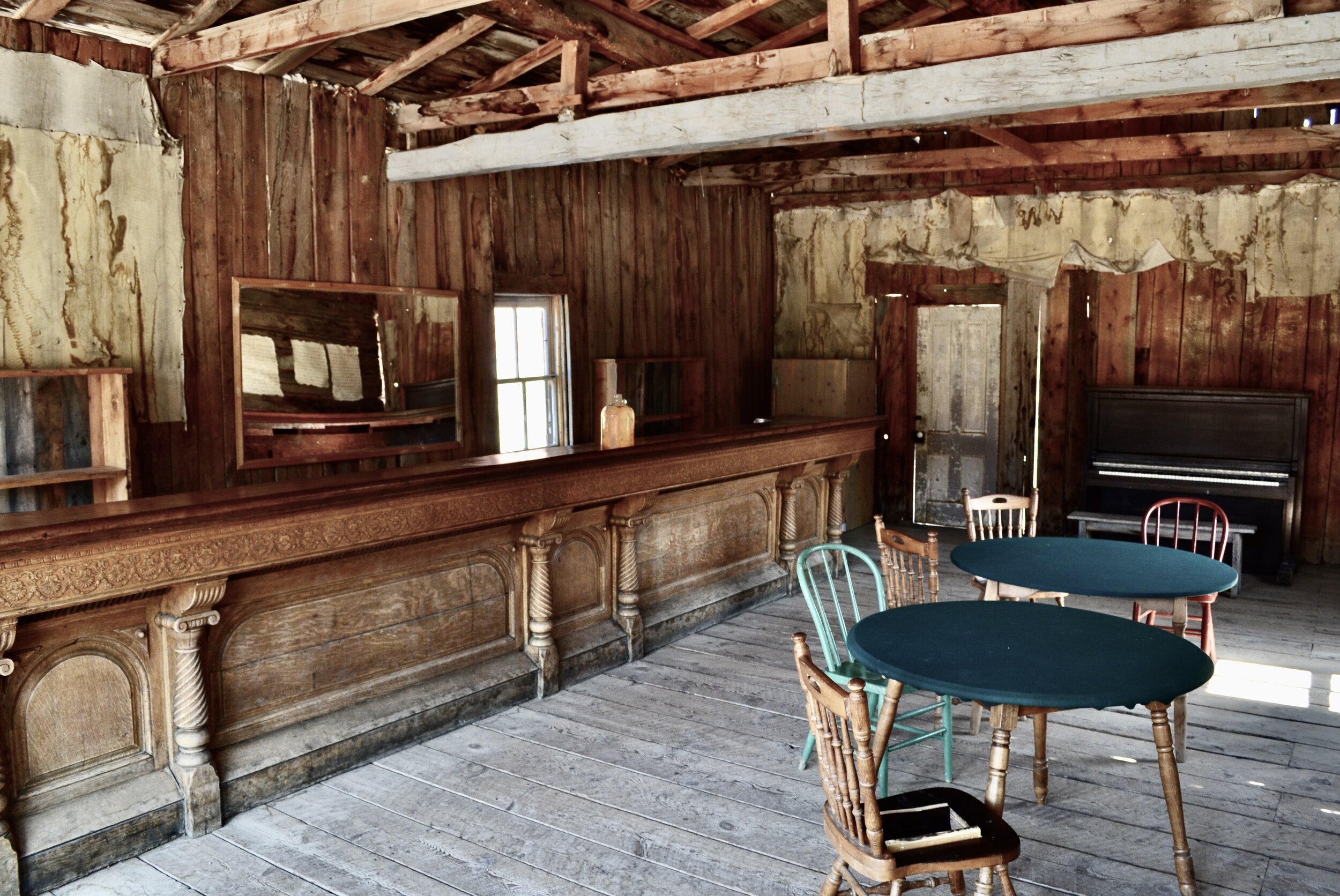
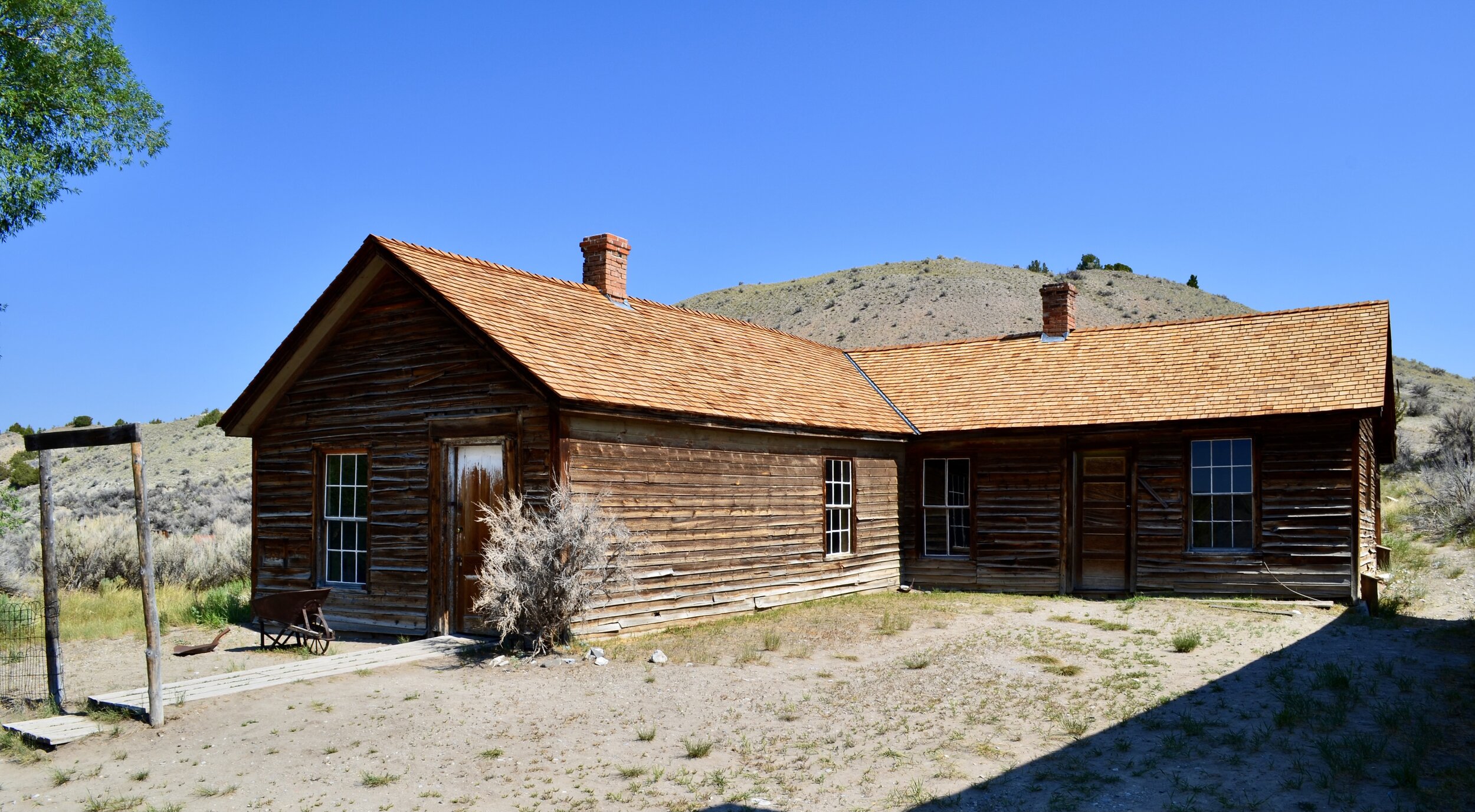
The buildings all matched what you’d expect for a town founded in 1865 - basic log cabins or the occasional two-story brick “mansion.” The most elaborate and interesting places were the brothel/saloon, the school, and the sheriff’s house - complete with its own gallows. Without the pamphlet it was cool, but some of the stories were genuinely bizarre. I’ll paraphrase my favorite, as told by the ranger:
Bannack was (and still is) one of the most remote mining towns in Montana. More than a week’s horseback ride to the next closest trading post, it was widely known as a lawless and sinful place. Due to its reputation the population was male-dominated, with a majority of the female residents consisting of “entertainers” or prostitutes. Eventually there was a major heist, and the sheriff had the gallows constructed in front of his house to deal justice. Ropes around their necks, the robbers confessed and declared that the sheriff had orchestrated the whole thing. The town held an impromptu court, where witnesses confirmed he was in on it. The town decided to hang the sheriff along with the others.
Completely lacking law enforcement, Bannack became more and more wild. Crime rose. People were routinely gunned down in the saloon or street. Eventually it became so dangerous that traders stopped coming, and the town’s supplies dried up. The population dwindled and eventually Bannack was abandoned, leaving it well-preserved for people like me. I’m not sure how much of this story is embellished, but honestly it felt more like a Tarantino movie than a history lesson.
THE PIONEER MOUNTAINS
Leaving Bannack I needed to consult the fire map yet again. The blazes in western Idaho had sparked new fires in Montana, and the western route to my destination (closest to the divide) had been blocked off. According to the Ranger the blaze was burning all the way up to the trail, so the only way to Wise River was through the Pioneer Mountain Scenic Byway. That sounded all right by me, so I packed up and got back on the trail.
Forty miles later the dirt road ran into the paved Byway. Visibility and air quality worsened the further North I climbed, but the road itself was beautiful and full of scenic turnoffs. Mile after mile meandered through the mountains and valleys. Offshoots from the road were populated by families in campers - the area was mostly composed of BLM land.
At one point the switchbacks got so disturbingly fun that I threw my hands up in protest. Is this even real? I thought the Malibu canyons were good, but I’d take this route any day. After a long and somewhat sketchy session of pushing my off-road tires to their limit I pulled off to blast down a random dirt road. This is where the bike really shined, and for the first time since California I felt like the riding itself was front and center. I didn’t really care where the road led - it was just fun to go fast.
Ironically this random road was packed with sights. I whipped around a bend and immediately locked the rear brake, sliding to a stop just before a log bridge over a small stream. Two adult black bears were fishing in the stream and scampered off, presumably just as alarmed as I was. I fumbled with the camera, missed the shot, and relocated my bear spray from my pack to my hip.
Another five miles down the road I came across an abandoned log cabin and chose the spot to take a lunch break. It was only two o’clock and Wise River was 30 miles north, so I had time to kill. Normally I would be fine taking a nap in the woods, but the bear sighting made that impossible. Karen would be the first to tell you that I am irrationally afraid of bears, and the Pioneer mountains lie firmly in Grizzly territory. I ate my sandwich in the shade and enjoyed the silence.
Just like Lima, Wise River (population 260) wasn’t much to speak of. There was one restaurant, and I stopped in to take a break and get my first prepared meal since Jackson. From the restaurant patio I could see wildfires in the distance, and when I stepped inside I realized I was the only non-firefighter in the place. The restaurant staff looked exhausted - they had been filling hundred-meal orders for the fire teams for the past few days. The parking lot was full of emergency vehicles. I asked if there was anywhere to sleep in town, and they strongly suggested I get out of dodge. The locals were all evacuating.
“Will the fire reach the town?”
“Oh no - we’ve cleared enough brush that it won’t burn down. But the ash will get awful.”
The news was a bummer but the chicken sandwich was great. The only real place to go from Wise River was Butte, so I thanked the firefighters for their service, packed up, and headed towards the highway. Everyone suggested I stay off the back roads.
The highway blast up I-15 to Butte was predictably boring, but as I got closer I realized it isn’t your typical metropolis. Butte sits on a massive open copper mine - the Berkeley Pit. The feature dominates your view from any vantage point and reminds you that this is, in fact, another old mining town. Sadly I never got a chance to visit the pit or the World Mining Museum in person - I needed the breather to re-supply and re-charge. I found the nearest mountaineering outpost and re-stocked on camp food and propane, ready to start the charge up to Seeley Lake and Glacier National Park.
Butte and Berkeley Pit from the sky - photo courtesy of Wikipedia


